Omniris
Geospatial AI
Operationalize spatial data with AI-ready storage, analytics, automation, and agents.
Spatial Intelligence
AI Needs More Than Maps.
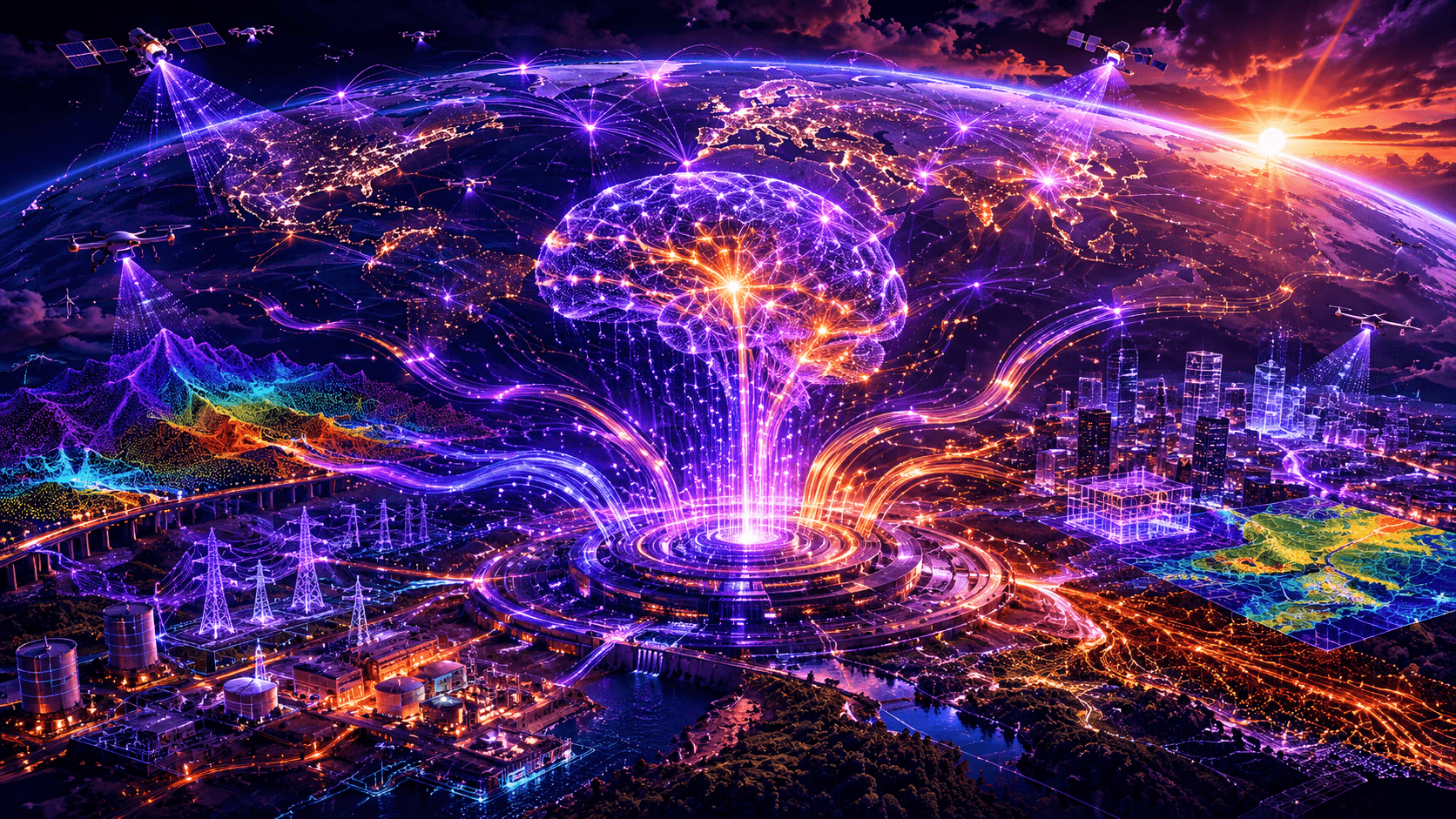
Geospatial AI requires clean data, aligned layers, fast rendering, repeatable processing, secure storage, and context across the physical world. Omniris turns raw spatial data into intelligence that AI systems can use.

Built to connect capture, storage, rendering, analytics, and automation into one geospatial intelligence engine.
AI Capabilities
From Spatial Data to Operational Decisions.
Anomaly Detection
Identify changes, defects, crop stress, asset issues, and emerging field conditions across spatial data.
Pattern Recognition
Detect spatial relationships across imagery, maps, telemetry, digital twins, and operational layers.
AI Reasoning
Prepare geospatial data for agents, automation, predictive workflows, and enterprise decision systems.
Fast Intelligence
Move from capture to analysis quickly using optimized rendering, tiling, processing, and publishing pipelines.
Multi-Source Context
AI Gets Smarter When the World Is Properly Indexed.
Omniris connects the spatial layers that describe real-world systems, then prepares them for analytics, visualization, prediction, and AI-driven automation.
AI Workflow
Capture. Align. Analyze. Predict. Automate.
Omniris provides the geospatial foundation for AI agents and automation systems that need to understand physical places, assets, conditions, and change over time.
AI-Ready Vault
Store imagery, models, telemetry, and GIS layers with structure and lineage.
Processing Pipelines
Transform raw capture into rendered, indexed, and analyzable geospatial data.
Agents & Automation
Enable AI systems to reason over spatial context and support operational decisions.
Intelligence Engine
Built for Planet-Scale Spatial Reasoning.
From field-level imagery to infrastructure-scale digital twins, Omniris makes spatial data usable by modern AI systems.

Operationalize AI
Make Spatial Data
AI-Ready.
Omniris connects geospatial data vaulting, visualization, processing, and AI automation into one intelligence platform.